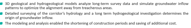
3D geological and hydrogeological models analyze long-term survey data and simulate groundwater inflow patterns to optimize the alignment away from treacherous areas. Detailed surveying of the corridor’s hydrology and a long-term hydrogeological investigation determines the origin of groundwater inflow. The modeling and analysis enabled the shortening of construction periods and saving of additional cost.
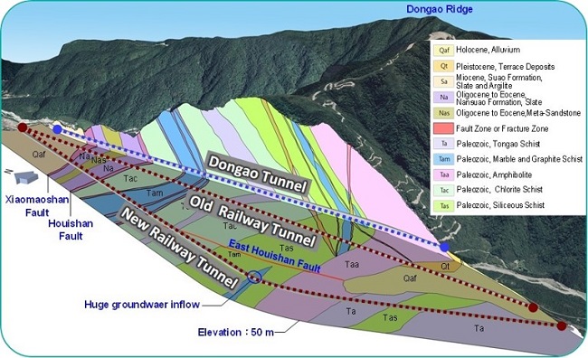
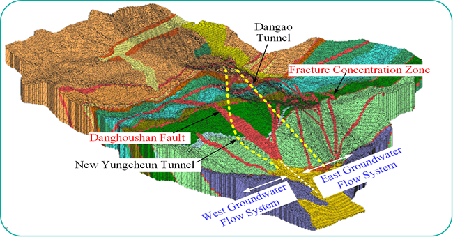


3D geological mapping and imagery ensures that the technical design will be able to withstand tremendous groundwater inflow and potential collapse of soil/rock.
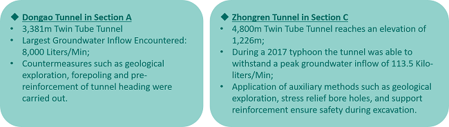
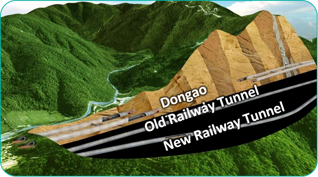
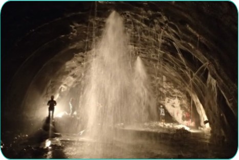
Brief Description of Dongao Tunel in Section A includes: 3381m Twin Tube Tunnel. Large groundwater inflow encountered: 8000 liters/min. Countermeasures such as geological exploration, forepoling and pre-reinforcement of tunnel heading were carried out.
Brief Description of Zhongren Tunnel in Section C includes: 4800m Twin Tube Tunnel reaches an elevation of 1226m. During a 2017 typhoon, the tunnel was able to withstand a peak groundwater inflow of 133.5 kilo-liters/min. Application of auxiliary methods such as geological exploration, stress relief bore holes, and support reinforcement ensure safety during excavation.